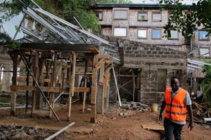
Satellite imagery tracks agricultural shifts along Kenyan rivers

Using satellite imagery, the Nation has surveyed agricultural usage along Kenya’s rivers. While the rivers are vital sources of water for both domestic and agricultural purposes, the unsustainable use of water resources, particularly for agriculture, has led to declining water levels in several key rivers across the country.
The Food and Agriculture Organization ( FAO) points out that agriculture is both a major cause and casualty of water scarcity, and accounts for the largest share of total annual freshwater withdrawals, This is primarily due to the necessity of satisfying food demand for the rising global population.
Some of the most notable usage can be seen along Tana River, Nairobi/Galana River, River Yala, and Voi River, each facing unique challenges related to agricultural activities.
Tana River
The Tana River, Kenya's longest river, has seen its water levels decrease significantly over the years due to extensive irrigation schemes along its banks. Large-scale agriculture, particularly in the form of rice paddies and sugarcane plantations, has diverted water from the river, leading to reduced flow downstream.
Satellite imagery from January 2020, when compared with imagery from August 2023, shows that the area within the coastal corridor has been heavily cleared of trees and other plant life and replaced with farmlands.


Nairobi River
Satellite analysis between 2017 and 2023 shows the Nairobi/Galana River, which originates from the Aberdare Range, and served by several tributaries, has also been affected by both small and large-scale farming along its bank. Irrigation projects and water abstraction for farming have reduced the river's flow, impacting water availability downstream.
The Timelapse below shows the appearance of increased farming activities in this area in more detail.

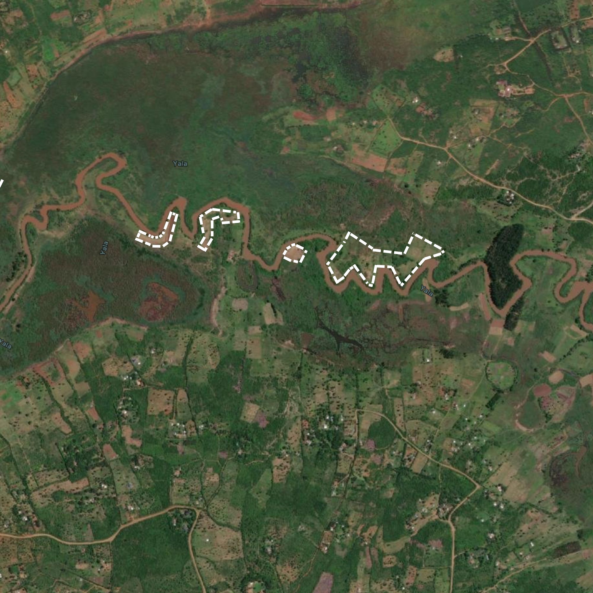
River Yala
In western Kenya, the River Yala has faced similar challenges. March 2017 and August 2023 imagery from satellite imagey shows large tracts of land along the riverbank have been gradually converted into agricultural land.

Voi River
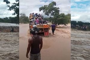
The Voi River, located in the coastal region of Kenya, has seen its water levels decrease due to agricultural activities such as irrigation and livestock watering.
The expansion of agriculture along the riverbanks has led to increased water extraction, impacting the river's flow and availability of water for downstream users.